Eratosthenes measured the circumference of the Earth in 240 BCE with a stick and the angle of its shadow. The same method gives you latitude at the summer solstice — because on that day the sun's declination is a known constant, and everything else is geometry.
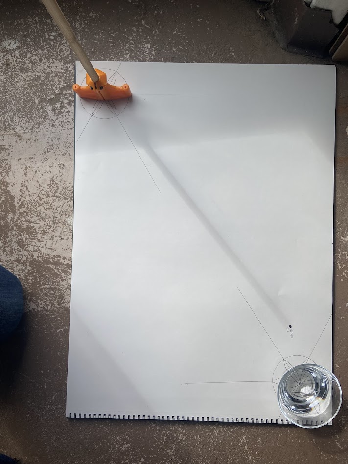
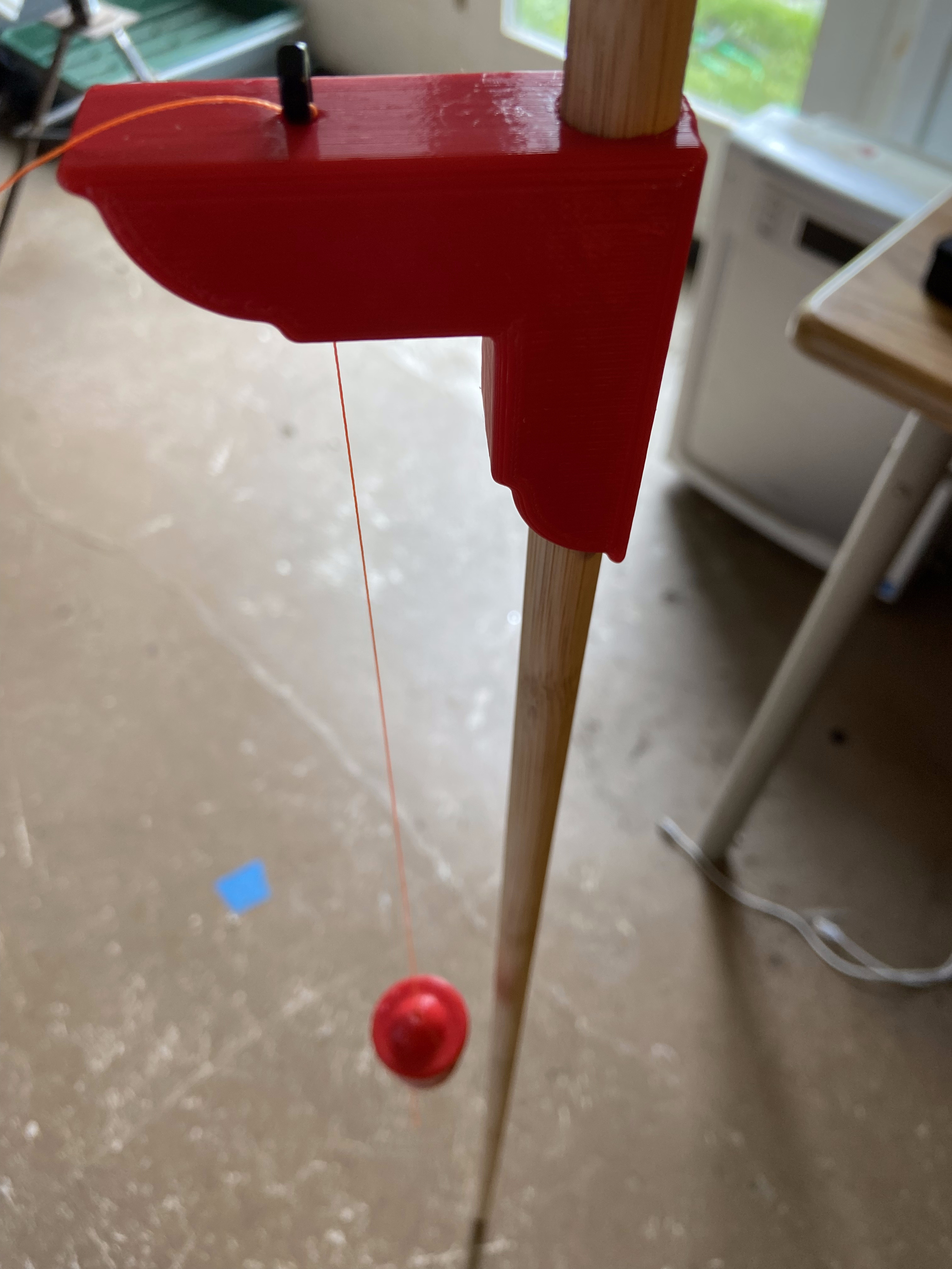
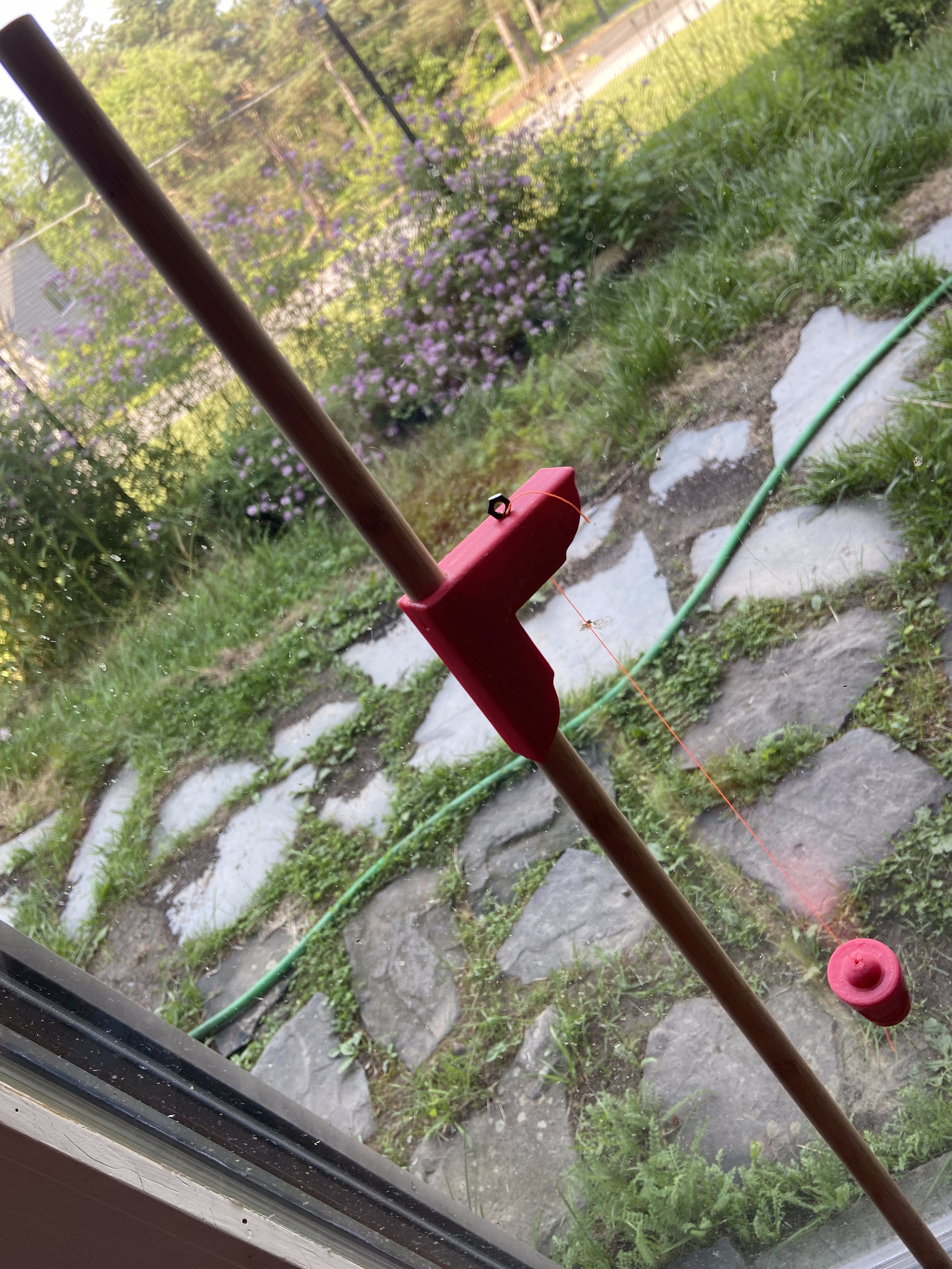
The setup is a gnomon: a vertical rod. The longer it is, the more precisely you can read the shadow angle, but any length works. This one ran 122 cm, held vertical with a plumb bob suspended from a right-angle bracket. At solar noon on June 21st the sun reaches its maximum elevation for the year at any given latitude. The shadow is at its shortest. That's your measurement window — a few minutes either side of noon — and you get exactly one opportunity per year.
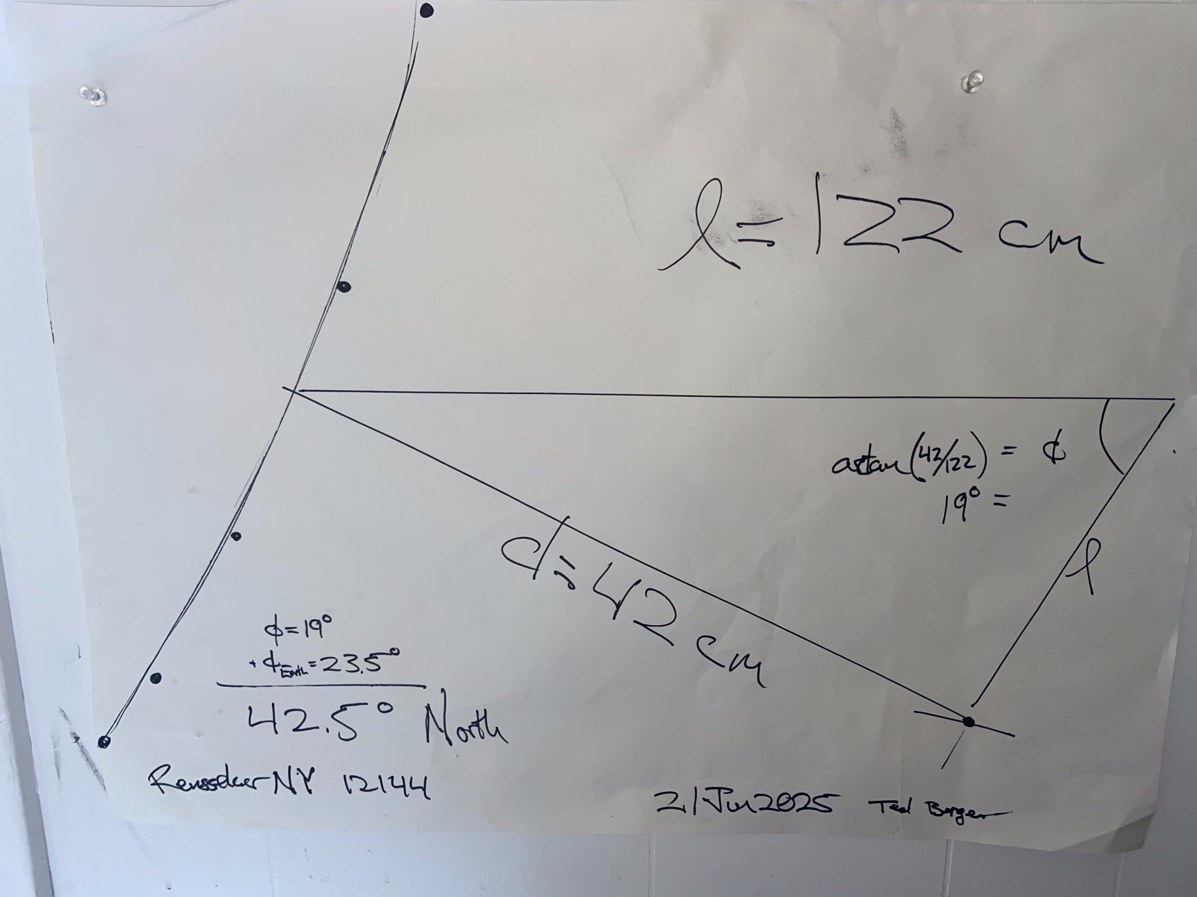
The measurement: shadow length 42 cm, gnomon height 122 cm. The zenith angle — the angle between vertical and the line to the sun — is atan(42/122) = 19°. On the solstice, the sun stands directly overhead at 23.5°N, the Tropic of Cancer. If you're further north, the sun is that many degrees lower in the sky. So: 19° + 23.5° = 42.5°N.
The actual latitude of Rensselaer, NY is 42.65°N. The measurement was off by 0.15° — about 17 kilometres. With a stick and a piece of paper and one carefully watched afternoon.
Eratosthenes needed two sticks separated by a known distance to compute the Earth's circumference — he used the distance from Alexandria to Syene, measured by a man paid to walk it and count his steps. To get latitude you need only one stick, because the solstice date fixes the sun's position in the sky as a free variable. The geometry collapses from two unknowns to one. The measurement took longer to set up than it did to take. The calculation took a minute with a pencil. Two thousand years of accumulated astronomical knowledge compressed into one Sunday afternoon with a tape measure and a plumb bob.